
From collection Person

Related Items
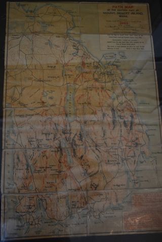
Path Map
A path map of the eastern half of MDI.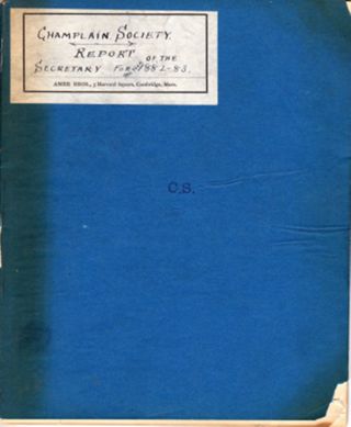
Champlain Society | Report of the Secretary for the year 1882-83
Title page: Champlain Society | Report of the Secretary for the year 1882 . 1883 15 hand numbered pages using the right side only of a two page spread. Nomenclature: Log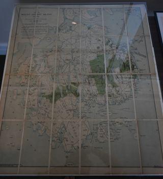
Map of MDI, 1921
Map of MDI and the Schoodic peninsula with Acadia National Park highlighted on it in green.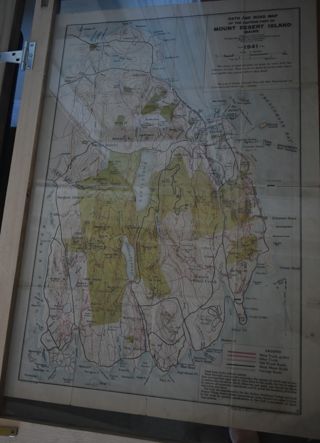
Path Map of MDI, 1941
A path map of the eastern half of MDI.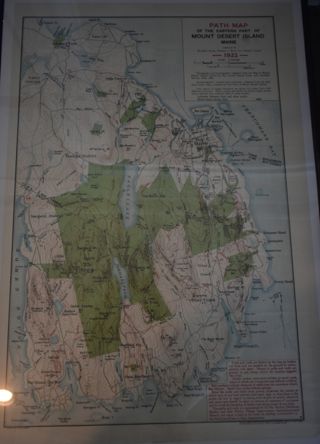
Path Map of MDI, 1922
A path map of the eastern half of MDI.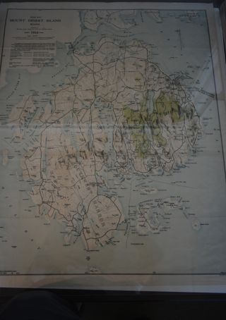
Path Map of MDI. 1934
A path map of the eastern half of MDI.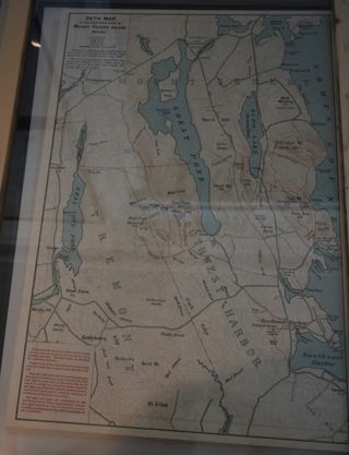
Path Map of MDI, 1932
A map of the paths on the eastern half of MDI.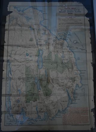
Path Map of MDI, 1911
A path map of the easter half of MDI.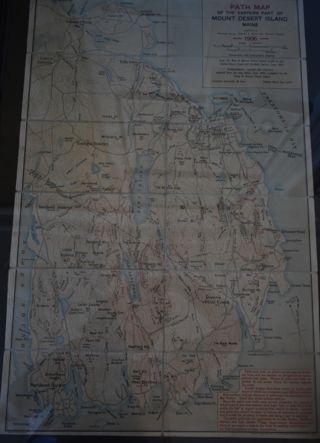
Path Map of MDI, 1906
A path map of the eastern half of MDI

